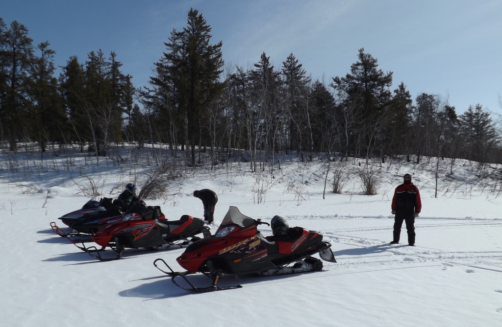
Nisbet to Shellbrook 13-16
FULL DAY NISBET FOREST CROSS COUNTRY TOURS
FULL DAY NISBET TOURS
- Lots and
lots of Km's through Nisbet Forest & around outlaying country side and
communities.
- Transportation for up to 4 persons
included unless otherwise specified.
- Head to toe gear
available as required.
- Each individuals meals, fuel & oil
extra, + + as required unless specified otherwise.
- Pricing for Full Day Nisbet Forest
Cross Country Tours
- A Good Reason to let a SNOCRUISE Tour Guide Lead the Way!
|
SNOCRUISE FAMILY TOURS  |
|
SNOCRUISE |
|
SNOCRUISE WINTER WEEKEND POKER DERBY  |


RIDE'N WITH
THE BOYZ
MARCH 29, 2013,
151 miles/243 KMs
 |
 |
 |
|
|
|
|
|
|
|
|
|
|
|
|
|
|
|
|
|
|
|
|
|
|
|
|
|
|
|
|
|
|
|
|
|
|
|


.jpg)


|
|
|
|
|
|
|
|
|
|
|


|
|
|


Fuel up at Holbein 3:08PM 79 Miles/127 KM
|
SaberCat 700 |
V MAX 700 |
SaberCat 700 |
STORM 800 |
|
32.66L |
33.34L |
32.0L |
35.68L |
|
|
|
|


Fuel up back at Holbein 4:54PM 95 Miles/153 KMs
|
SaberCat 700 |
V
MAX |
SaberCat 700 |
STORM 800 |
|
8.67L/16 Miles |
8.20L//16 Miles |
6.20L//16 Miles |
7.75L//16 Miles |
|
|
|
|
|
|
|
|
|
|
|
Back out thru...
|
|
|
|
|
|
|
|
|
|
|
|
|
|
|
|
|
|
|
|
|
|
|
|
|
|
|
|
|
|
|
|
|
|
|
|
|
|
|
|
|
|
|
|
|
|
|
|
|
|
|
|
|
|
|
|
|
|
|


|
SaberCat 700 |
V
MAX |
SaberCat 700 |
STORM 800 |
|
148.5 Miles |
151.3 Miles |
138.6 Miles |
143.6 Miles |
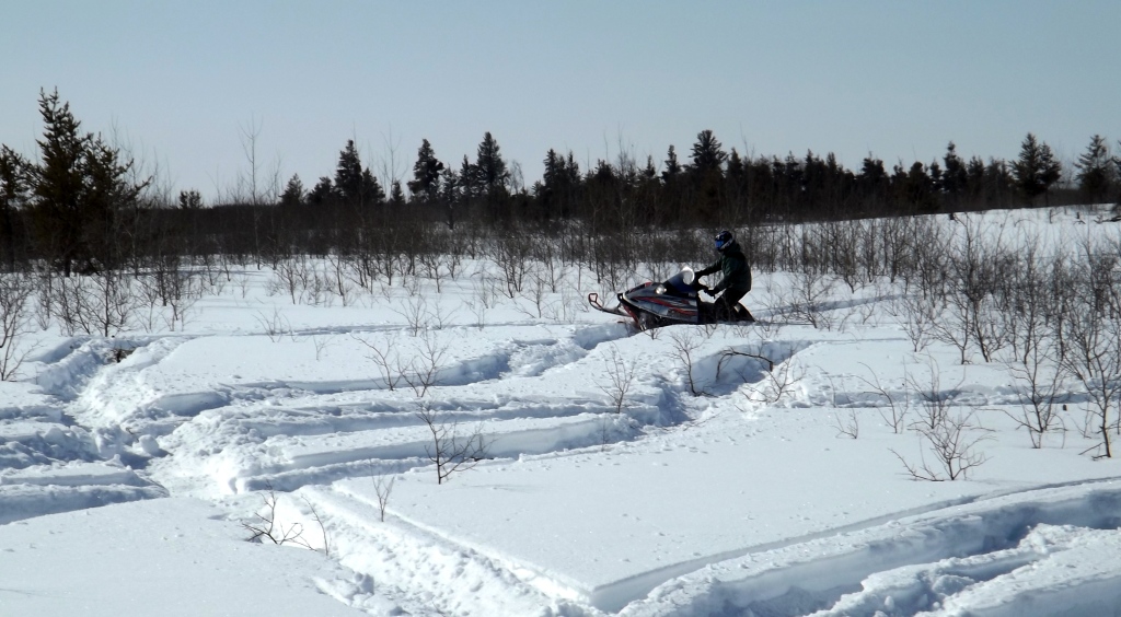
SIGHTSEEING is one thing, but are you fit enough to participate in a cross country snowmobile ride?
ONLY in SASKATCHEWAN!